The southern gully path
The southern gully path
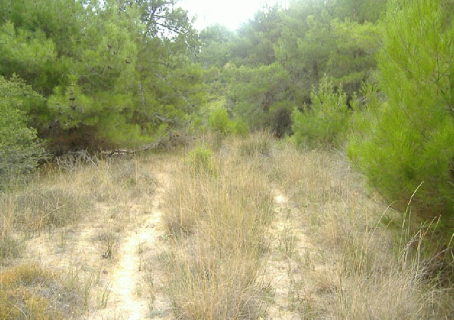
After a few twists and turns on leaving the beach, the gully path straightens out and also widens. The trees and undergrowth close in however, and much of the evidence of previous occupation is masked. It is really quite difficult to imagine what this area was like in 1915, where every square metre at the sides of the path was occupied by dugouts, bivouacs, stores and small cemeteries.
There is now no hint that the sea is just a few hundred metres behind.
At times it is easiest to walk in the stream bed itself, at least when it is dry, and at others, on the higher verges to one side. These are all that remains of the gully road that led from the beach right up to the front line. You will see more evidence of this at various points in the walk ahead. Be particularly careful in this area and ahead not to grasp the grass with an unprotected hand (photo). It is razor sharp!