The Zig Zag
The Zig Zag
After the very worthwhile detour to Gurkha Mule Trench, Gurkha Bluff and Y Beach, this page resumes the walk up Gully Ravine itself to the front lines.
If you are using this tour to plan an actual walk, after Y Beach, retrace your course southwards back to Geoghegan’s Bluff and drop back in to the gully path there.
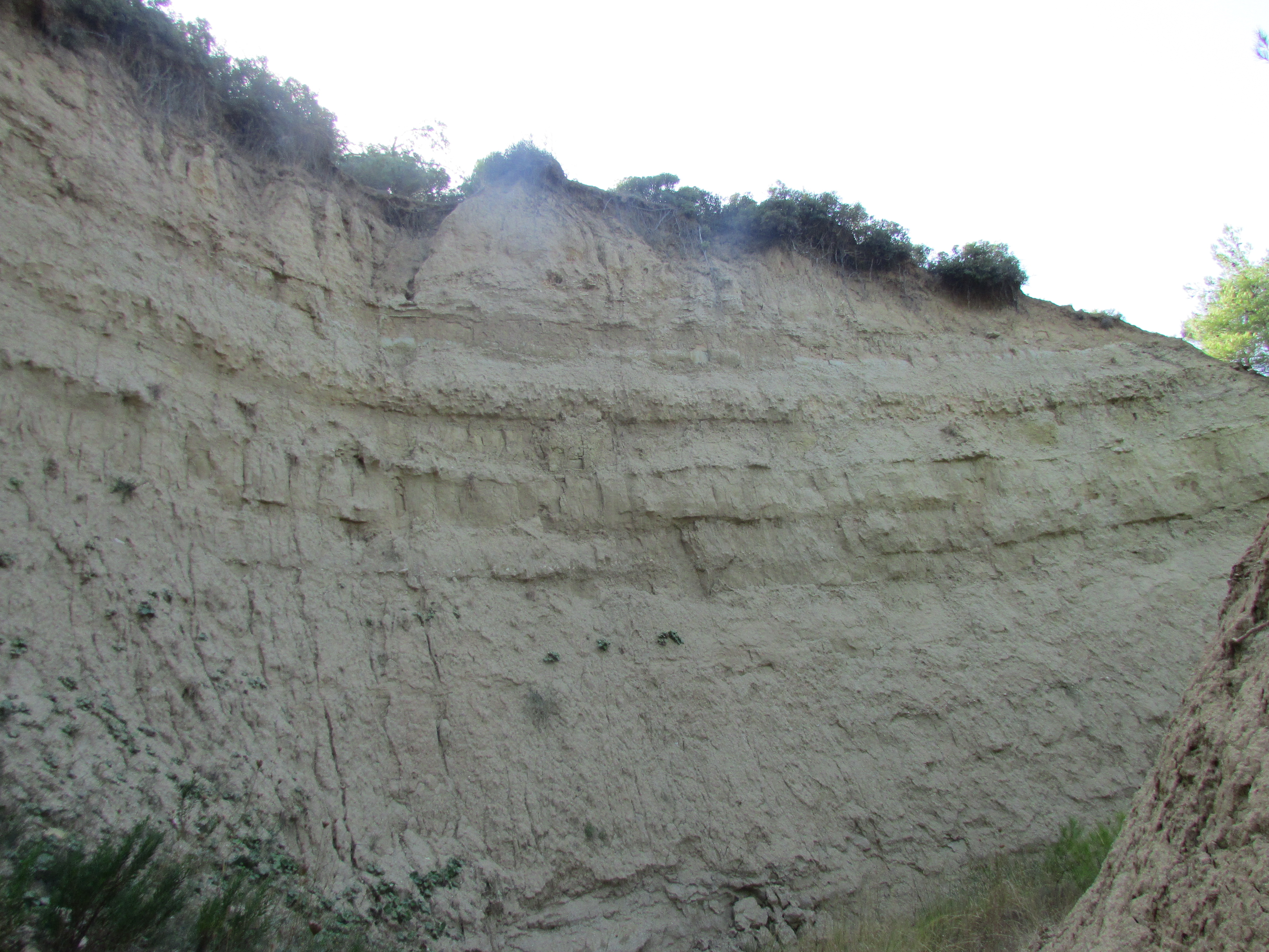
Walking northwards, you enter a series of sharp bends between towering white walls on either side. This is the Zig Zag. Its name derives either from these turns, or more likely from the goat path on the eastern side up to the lines, which was expanded and developed by engineers in a series of ascending switch backs.

As you approach the last bend of the Zig Zag, the 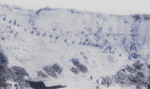 entrance/exit point of Gurkha Mule Trench can be seen on the left, and close by, right inside the elbow’ of the final right hand turn, that of Douglas Street. I have not explored these trenches in any detail, but although they are both choked with washed-down debris, it should be possible to enter and to push through some distance. As we have seen in an earlier section, Gurkha Mule Trench emerges again on the fields near Gurkha Bluff and its remains are particularly impressive inside the trees in that area, having been protected from ploughing.
In the picture above, taken during my walk through in 2015, the view looks back on the sheer wall that once carried the path up to the lines. The position is very close to the viewpoint of the 1915 image, above and right, (Public domain, Wiki Commons).
Also below is a short video of my September 2015 walk through the Zig Zag.