RND
The Royal Naval Division sector and Backhouse Post
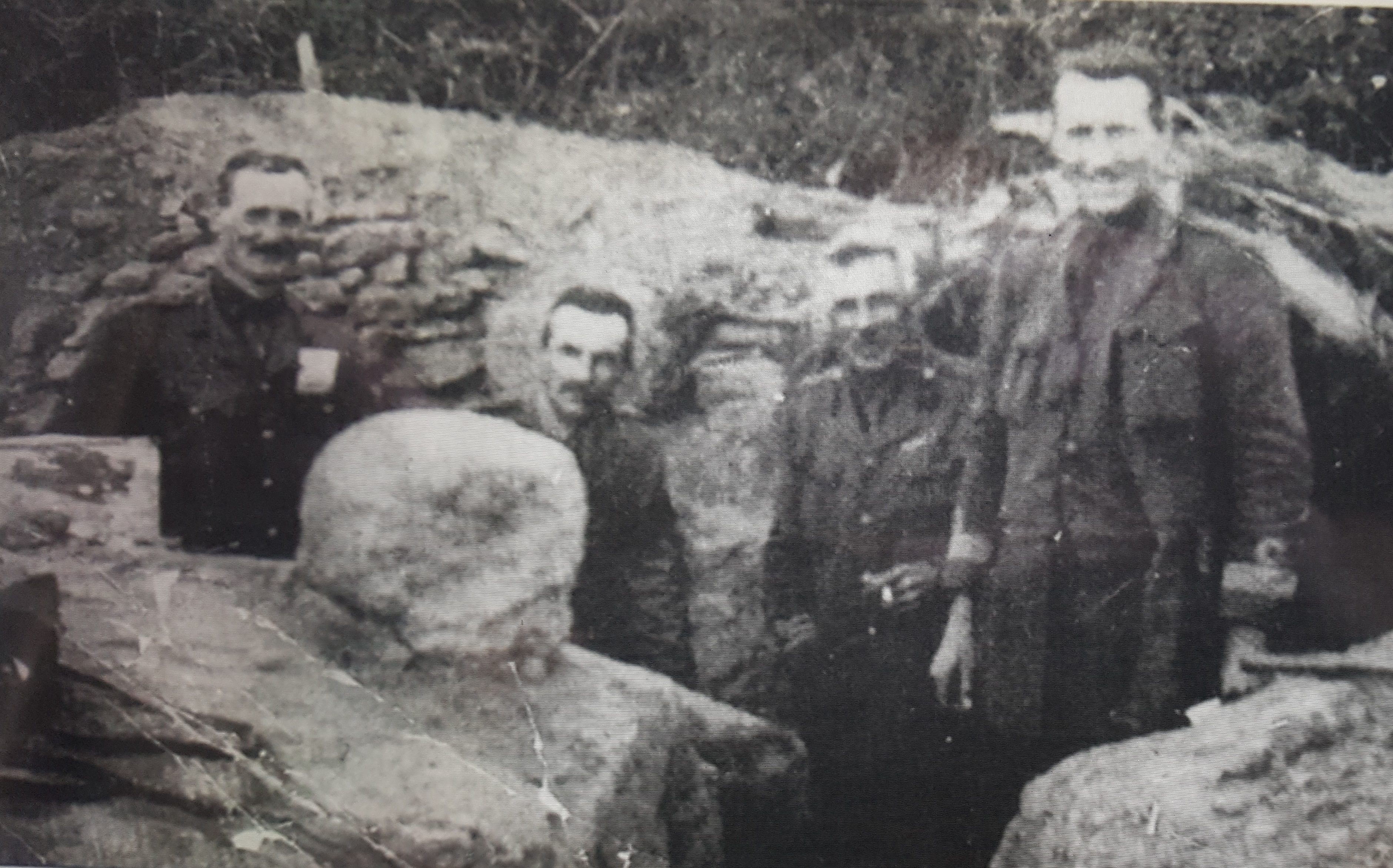
An unexpected development in the early stages of World War One for Great Britain was that there was a surfeit of trained seamen, partly due to Lord Fisher’s vigorous rationalisation of naval ships in previous years. To find a useful deployment these landlocked sailors, Winston Churchill made the decision to create a Royal Naval Division, the RND – designated the 63rd – comprised eight battalions, namely Drake, Benbow, Hawke, Collingwood, Nelson, Howe, Hood, and Anson. Unusually the division did not have it own support units such as artillery, engineering or medical, it was purely infantry. After serving on the Antwerp raids, the RND embarked for Gallipoli and after involvement in a feint at Bulair on the night before the landings, the division was deployed at Cape Helles, between the 29th Division on the left and the French on the right as one faces north eastward towards the front line.
RND-related locations at Cape Helles
Skew Bridge CWGC at Cape Helles is located close to the Achi Baba Nullah, a shallow watercourse which runs down to Morto Bay from the higher ground to the north east. The cemetery is the start point for this short tour. The coordinates are 40.059611°, 26.200164°.
(Note that whilst this area is largely open and accessible there are a few private dwellings in the trees and these should be respectfully avoided of course.)
Whilst in the cemetery, it is worth locating plot II B 4, where Lieutenant Colonel John Quilter lies. He was the commanding officer of the Hood Battalion and was hugely popular with his men. He fell to enemy fire on 6th May 1915 during the 2nd Battle of Krithia.
Exit the cemetery to the NNE on a bearing of 40 degrees. Ahead is a wide valley through which the nullah runs. On your left shoulder the thickly wooded land rises to the Alcitepe Road and to Observation Hill beyond. The Nulla runs to your right.
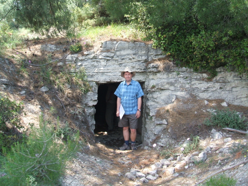
Keep a careful eye on the base of the hill on your left as your proceed, and after around 400 metres you will see a short path leading to a stone and concrete structure built into the rising ground. This is the Royal Naval Division bunker, probably used as a medical facility. It is quite safe to enter if you do not mind the possibility of sharing it with a few bats. The interior has a stone slab and recesses in the wall for storage. The roof is open.
There are two further rooms in this facility reached underground by a tunnel, but these are very difficult to access now. Photo below left, featuring Gallipoli Association member Peter Ramsden.
Commodore Oliver Backhouse, commanding the 2nd Naval Brigade, set up his HQ in this general area and a few websites and YouTube videos have made the perhaps understandable mistake of assuming that this most obvious of remaining structures must be Backhouse Post. This is not the case. Continue the tour to reach Backhouse Post, below.
Leaving the bunker, continue in a general north eastwards direction with the hill to your left. This is the route that the RND took in the early days of the campaign and specifically at the battles of Krithia. Over the other side of the nullah to the north east is Romano’s Well, named according to the RND historian Len Sellers after the salubrious Edwardian restaurant on the Strand in London. The well was a vital asset. Later in the campaign engineers rigged a pipe which took water from the wellhead to a tank near the front line in Central Street trench.
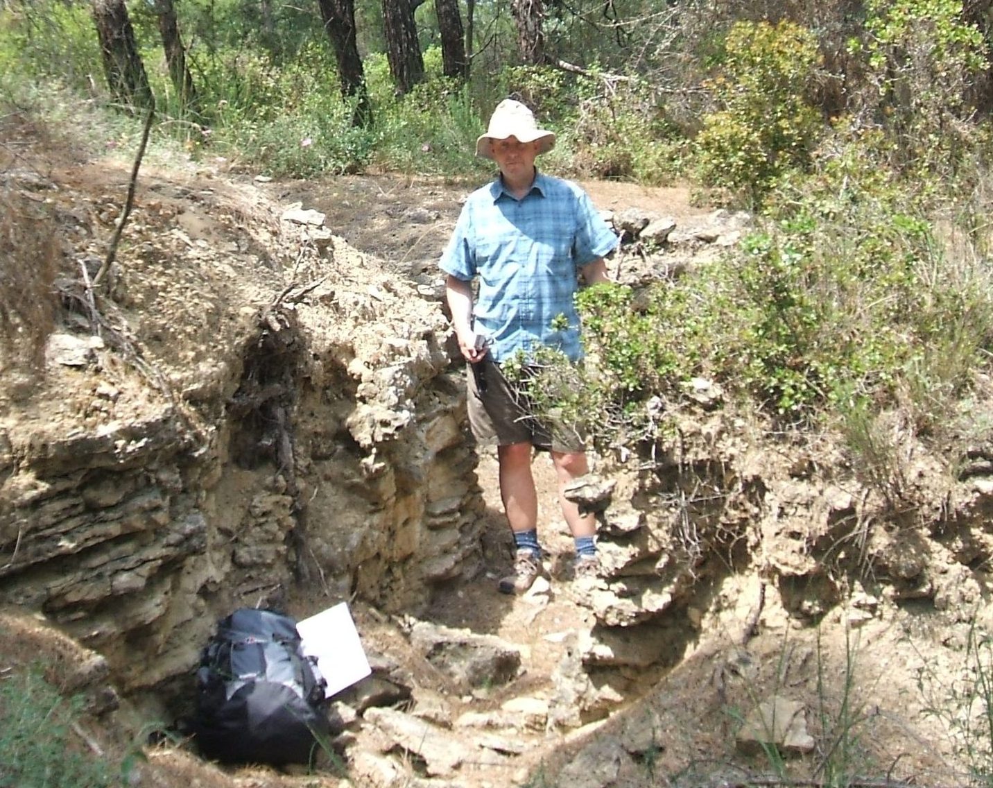
At a distance of about 800 metres north east from Skew Bridge you will see a great deal of evidence on your left of dugouts, trenches and other now collapsing structures. This is Backhouse Post. The location can be verified quite easily because contemporary maps show this position east and downhill from a quite distinctive kink in the road (or track as it was in 1915) on the hill above. A communication trench ran over Observation Hill to the post and then onwards eastwards towards the French sector.
It is possible to extend this walk by continuing north eastwards, eventually ascending back to the road, and following this for about 1 km to a pansiyon and restaurant on the right hand side. From here, one can cross the nullah, and walking north eastward reach the now boggy ground which is the location of White House and Brown House. Jo Murray provides considerable detail about these locations in his book ‘Gallipoli as I saw it’ and the RND established these ruins as a forward base after the Second Battle of Krithia. The determined can still find evidence of the buildings’ foundations at 40° 4’15.16″N, 26°12’48.47″E.
Another option is to turn north west and climb up the wooded hill, following the line of the old communications trench. You will emerge on to the Alcitepe road. Cross this, and in the woods on the far side you will immediately be amongst an extensive complex of now shallow but interconnecting trenches. This is Observation Hill, an important allied command position. Sadly, people seem to think it is OK to fill the trenches and other excavations here with rubbish.
Otherwise, you can retrace your steps back to Skew Bridge CWGC.